-40%
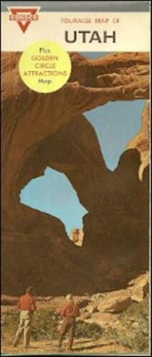
1967 CONOCO Gas Station Locator Road Map UTAH Arches National Monument Moab
$ 4.21
- Description
- Size Guide
Description
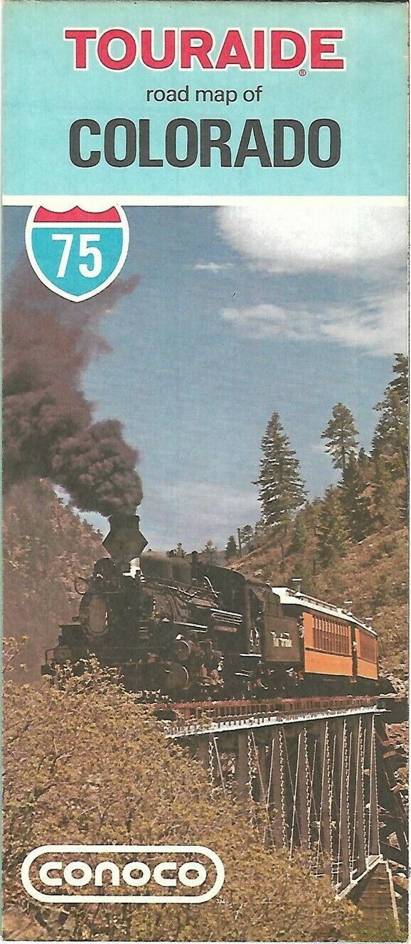
1967 CONOCO Gas Station Locator Road Map UTAH Arches National Monument MoabHandsome Conoco Touraide fold-out highway map of Utah, printed more than 45 years ago.
This map opens to 18" x 27" and has great detail on old road alignments, with cartography by H.M. Gousha. Sections of I-15, I-70, and I-80 were still under construction or marked as proposed when this map was printed. There are inset plans of Salt Lake City and Bryce Canyon and Zion National Parks.
The map was distributed by the Continental Oil Company in 1967 and is dated in the legend. The code number in the lower margin is OO-1. It is copyrighted
© 1966
on the back cover. Tiny triangles on the map show where Conoco products are sold.
The front-cover artwork presents an impressive view of Arches National Monument, a red-rock wilderness with spectacular formations, east of Moab. It was redesignated as a National Park on November 12, 1971, four years after this map was printed.
Condition:
This map is in very good condition, bright and clean, with
no
marks, rips, or tears. We are pleased to offer it with
our unconditional, money-back guarantee.
Powered by SixBit's eCommerce Solution
